
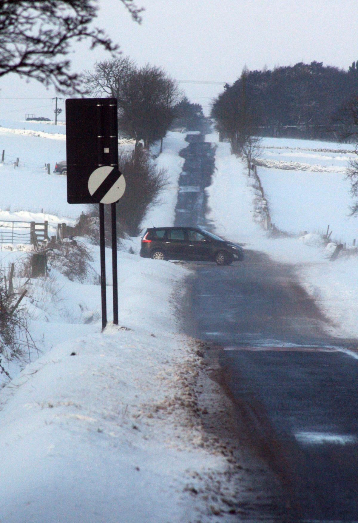
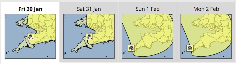
The Met Office has issued a yellow warning of icy stretches on Wiltshire's roads tonight and on Saturday morning.
Ice is likely to form on untreated surfaces on Friday evening, overnight and into Saturday morning while snow may fall on high ground.
A spokesman said: "A mixture of rain, sleet and wet snow is likely, with most of any settling snow taking place above about 200m.
"However, wet roads at low levels will contribute to the risk of ice formation."
A fierce Arctic blast will sweep the country on Saturday and Sunday, bringing snow across the north, and down the south west and east coasts of England and East Anglia.
Storms battered large parts of northern Britain yesterday, with up to 9in (23cm) of snow falling in some parts.
Helen Roberts, a forecaster at the Met Office, said: "We could see some more sleet and snow coming in from the north west - the remnants of it could clip the south east and as far south as London.
"The chances are that by the time it reaches the south it will be less intense, but there could be a light dusting of snow over those areas.
"I will imagine there will be more transport problems with the ice potentially being more of a hazard than snow.
"The strength of the wind is making things feel extremely raw."
The Highways Agency also warned of icy roads as temperatures plummet and said its gritters will be out in force.
Holidaymakers were stranded as Manchester Airport closed both of its runways for several hours, while flights were suspended at East Midlands Airport.
Glum-looking travellers at Manchester Airport were led back off planes carrying hand luggage while airport staff used shovels to clear the snow.
More than a dozen rail services between Manchester and Yorkshire were cancelled and main roads in Durham and Yorkshire were shut.
The disruption was so severe that Prime Minister David Cameron announced on Twitter that he has asked for updates on the weather and measures taken to keep transport systems and energy supplies running.
He said: "I have asked for an update on our heavy snow contingency plans. The gritters are out and people should listen to warnings."
Northern parts of the UK were worst hit by the snow storms. Tulloch Bridge in Inverness-shire had 9in (23cm) of snow, while there was 8in (21cm) at Glenanne in Armagh and Spadeadam in Cumbria had 5in (13cm).


Comments: Our rules
We want our comments to be a lively and valuable part of our community - a place where readers can debate and engage with the most important local issues. The ability to comment on our stories is a privilege, not a right, however, and that privilege may be withdrawn if it is abused or misused.
Please report any comments that break our rules.
Read the rules hereLast Updated:
Report this comment Cancel